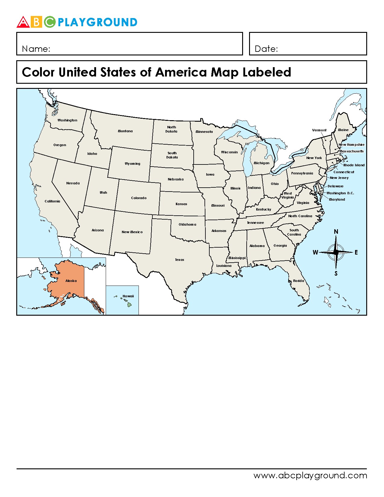
This printable worksheet features a labeled map of the United States for students to color. It helps young learners identify and remember all 50 states by name and location in a fun and interactive way. Great for elementary geography lessons and reinforcing U.S. state recognition skills.
This printable is targeted for use with k, 1st grade, 2nd grade, 3rd grade, 4th grade, 5th grade, and 6th grade students.
Download
VIP Download * Includes Answer Key
* Download History
* No Ads
TESTING:
MEMBER: https://www.abcplayground.com//worksheets-printable/social-studies/geography/maps/11782395350_usa-map-states-labeled-color.pdf
NON-MEMBER: https://www.abcplayground.com//worksheets-printable/social-studies/geography/maps/01782395350_usa-map-states-labeled-color.pdf